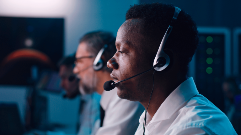
The first 9-1-1 call occurred in Haleyville, Alabama, in 1968. At the time, it was an exciting advancement in communications for emergencies. Before 9-1-1, there was no centralized system for calling for help in an emergency.
The foundation of the 9-1-1 system is built on analog technologies, which have yet to keep pace with how people today communicate. The Federal Government is rolling out Next Generation 9-1-1, which is upgrading the technology of emergency assistance communications from its analog origins to the digital IP systems in widespread use today.
#1 Photos and Videos
Perhaps the most straightforward change in the system is the ability for callers to send data in the form of pictures and videos to dispatchers, who can move it directly into the CAD (Computer Aided Dispatch) system of the dispatcher. 9-1-1 callers have the ability to allow access to the mobile device and provide the dispatcher with live pictures or video of a scene as it’s happening or soon after that. This is already in active use in many counties, such as Volusia County in Florida, where callers could provide real-time cell phone video of a drunk driver until officers arrived and then send their videos after the fact to be added to the database.
Pictures of a missing child could be sent in immediately to be tied to an alert sent out to the community, changing the response time drastically and increasing awareness within the community. There is even discussion of using the system in situations where the caller cannot speak, such as an active shooter scenario, of helping first responders get a better look at the activity from a different perspective.
#2 Automated Data Feeds
As the technology around us has continued to advance, so has the amount of data we can collect from that same technology. Funneling that data from the devices that collect it to the PSAPs (Public Safety Answering Points) that can use it in an emergency has finally begun to see a widespread rollout. For example, newer cell phones now have crash detection that will automatically contact 9-1-1, send location information, and turn on the speaker and microphone to enable two-way communication with the dispatcher. The technology uses motion sensors, microphones, GPS, and even a barometer to detect when a crash has happened and activate it.
Vehicle telematics data is regularly sent to dispatchers and third-party companies such as Onstar that can then pass that information to the 9-1-1 dispatcher as they work an incident. That type of data might include video and photos from onboard cameras that face both front and rear. In addition, braking information, speed of travel, and other vehicle-specific information are now available to help inform first responders.
Municipal video feeds such as traffic cameras, onboard cameras with first responder vehicles, and even body cameras worn by first responders can be integrated into the live-streaming fold to give dispatchers a real-time view of what’s happening on the ground.
#3 Mapping and GIS
In 2000, the United States Federal Government made the decision to end its “selective availability” program that artificially decreased the accuracy of civilian GPS receivers. As a result – overnight- the accuracy of civilian GPS receivers increased ten-fold, and the rest is history.
Today, coupled with the increased accuracy of satellite maps available from both commercial providers and the US Government and the Geographic Information Systems that bring all of the data together in one place, 9-1-1 dispatchers with compatible systems have the ability to locate both callers, and first responders overlaid onto accurate maps of their service area via GPS integrated with the maps through the GIS. Dispatchers can also have a real-time traffic capability that allows them to direct first responders around temporary slowdowns to efficiently get to where they are needed. Commercial GIS can even include blueprints and internal maps of buildings within the service area to allow dispatchers to guide first responders through the buildings themselves. All of this disparate data can be brought together within the GIS and overlaid onto the map to enable dispatchers and first responders to view the same information and ensure a maximal response to each situation with less room for miscommunication than ever before.
#4 Interagency Data
One of the longstanding challenges has been that 9-1-1 systems tend to operate in silos. Dispatchers may not have access to information about call data in other PSAPs or event counties which can make it difficult to understand the full context of calls. As 9-1-1 related data enter the digital space, dispatchers can scan the data from different agencies to understand caller history, review past notes, and even help improve the response.
The Future of Data in Dispatch
There’s no question that an increase in the type and availability of data will help 9-1-1 dispatchers better understand the calls and more quickly work through any protocols or response tiers needed for callers. Ultimately, dispatchers may be able to help improve response times, better prioritize calls and scene management, and ultimately provide callers with better outcomes.


